

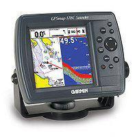
Taiwan Garmin Marine GPS 178C Fishfinder / GPS
Specifications
- Origin
- Taiwan
Taiwan Garmin Marine GPS 178C Fishfinder / GPS is a Navigation & GPS product. Key specs — Origin: Taiwan.
Product Description
Specifications: Garmin Marine GPS 178C Fishfinder/GPS: Garmin GPSMap 178C Color Sounder is a new-generation fully integrated chartplotter and powerful sonar, offering the same brilliant sunlight-readable color LCD, powerful features, and simple interface as sister model Garmin GPSMAP 172C, in a compact, console that leaves fish nowhere to hide.
This packaging of Garmin GPSMap 178C includes the Garmin GA29 remote antenna. Garmin GPSMap 178C comes standard with a built-in worldwide marine basemap and accepts MapSource BlueChart offshore marine cartography? Featuring detailed depth contours, inter-tidal zones, wrecks, navaids, and many other points of interest.
For small-water anglers, this Garmin Sounder is compatible with MapSource Recreational Lakes with Fishing Hot Spots, featuring fishing areas, boat ramps, marinas, and hazards. GPSMap 178C accepts separately purchased pre-programmed data cards that easily insert into the slot on the front of the unit.
WAAS enabled,12 parallel channel GPS receiver continuously tracks and uses up to 12 satellites to compute and update your position. 320 x 320-pixel,256-color CSTN screen with adjustable CCFL backlight. 3.2 W x 3.2 H (4.5 diagonal) viewing area. 6.3 x 4.9 x 3.7 (W x H x D) unit dimensions.
State-of-the-art 200 KHz/50KHz processor ideal for inland lakes and bays as well as marine use, makes data acquisition, panning, and zooming virtually instantaneous. See-Thru technology (which separates fish from thermoclines and structure) and Depth Control Gain (DCG) for detailed images of structure and bottom densities.
New digital display technology offers an easy-to-read, semi-transparent digital readout that allows users to see sonar images behind the data. User waypoints are automatically tagged with the date and time of creation, as well as water temperature and depth? Vital information for serious anglers.
10,000 active track points and 700 saved track points; database information can be stored on removable data cards and transferred to a PC or another unit. Sends, receives, and displays positioning data with DSC equipped VHF radios. TracBack? Mode helps guide you back to points along a route. Tracklines can be color-coded for trolling or cruising applications.
Adjustable range, gain, zoom, and bottom lock. Temperature log maintains a graphical record of temperature data. Shallow-water, deep-water, fish-by-size, timer, low-battery-voltage, anchor-drag, arrival, off-course, proximity-waypoint, and clock alarms. Water temperature and fish ID with depth alarms.
Case is fully gasketed, high-impact plastic alloy, waterproof to IEC 529 IPX7 standards. Temperature range:5 F to 158? F (-15 C to 70 C). Our price is 116 USD
Related Products
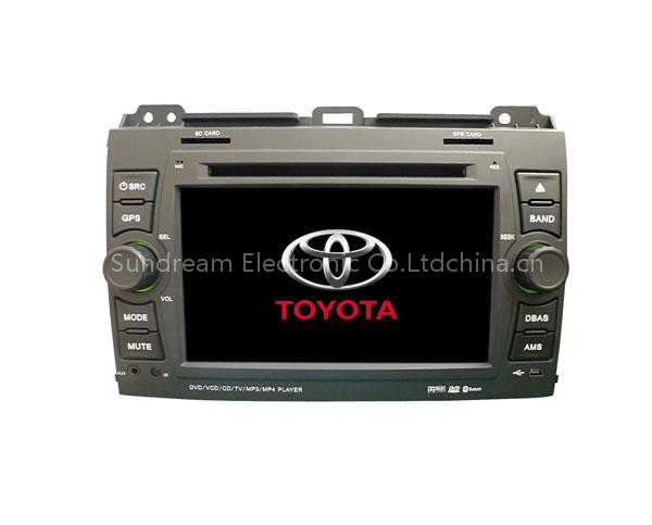 car audio player for Toyota prado with gps
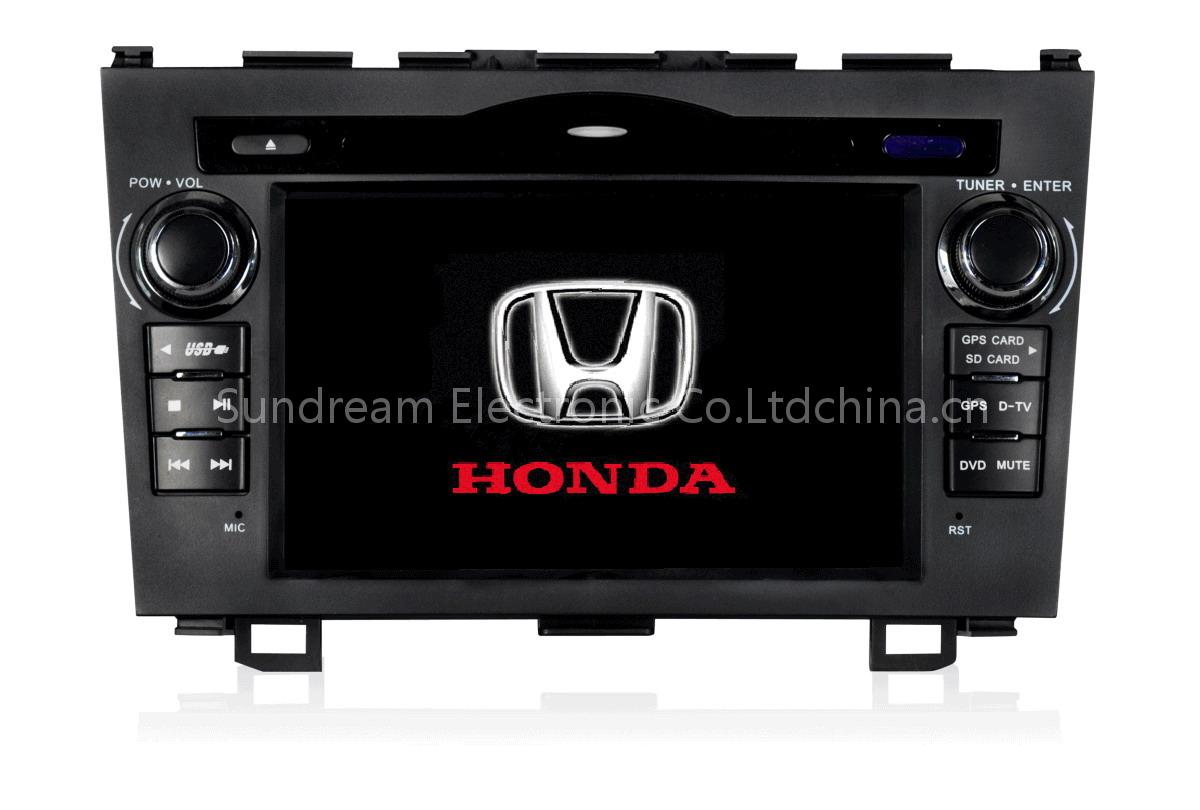 car audio player for Honda CRV with gps
 car audio player for Chevrolet lova/captiva/epica with gps
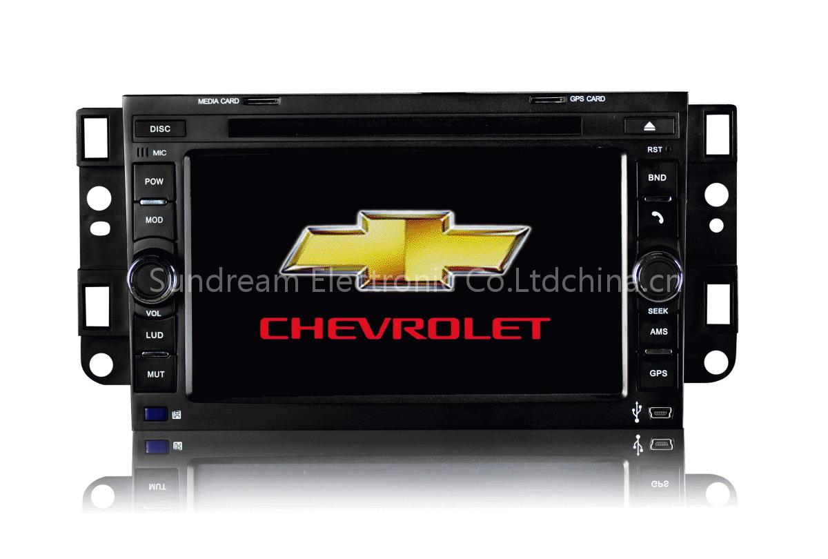 car audio player for Chevrolet lova with gps
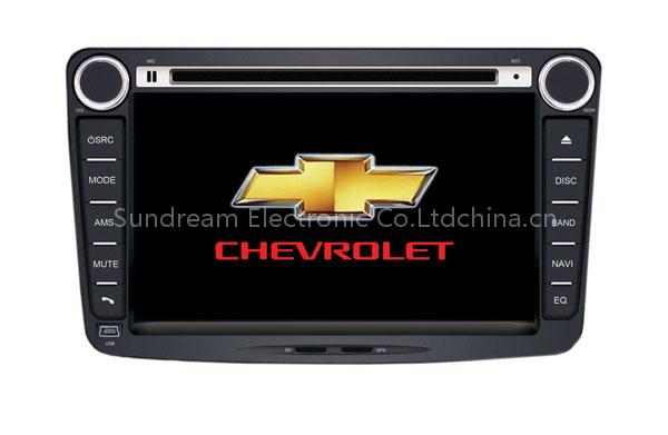 car audio player for Chevrolet Sail with gps
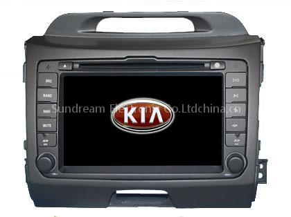 car audio player for Kia Sportage 2011 with gps
 2011 new car audio player for Mazda 3 with gps
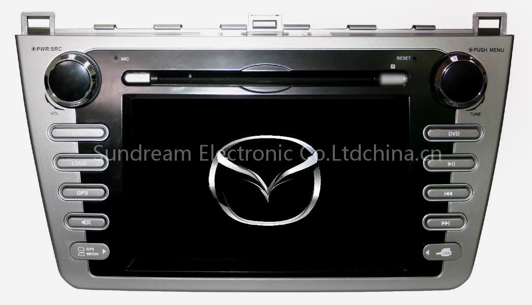 car audio player for Mazda 6 with gps